The Uk Wants To Combine Ai With Satellites And Military Aircraft
- The UK government is planning to set up a new arm of it's emergency response committee to help fight wildfires
- After the UK's hottest summer on record, firefighting crews were left under equipped to fight wildfires covering thousands of acres
- Satellite imagery, AI, and military aircraft armed with firefighting equipment are expected to be part of the new wildfire response
Following plans to build a £100 million AI Biosecurity Lab and plans to turn the UK into a global AI powerhouse, the UK is now looking at how AI can help detect and fight wildfires after a summer of extreme heat.
UK Prime Minister Andy Burnham is expected to reveal plans for a new AI arm of the cabinet’s crisis-management committee, COBRA, at a resilience summit hosted at the National Situation Centre on Friday.
The new wildfire AI unit will combine satellite imagery with early detection systems offering firefighters faster response times, with military planes and helicopters to be made available to help tackle blazes in hard to reach areas.
AI satellites to spot wildfires
Several tech and aerospace companies are expected to be in attendance at the announcement of the plans - including Google, Airbus and VodafoneThree - with the government saying the AI unit will help “spot and fight fires faster.”
Top universities and tech firms are expected to help the AI unit develop new tools to be used to detect potential wildfires across the country, while Royal Air Force aircraft will have firefighting equipment sourced to help respond to wildfire outbreaks in remote or hard to reach areas.
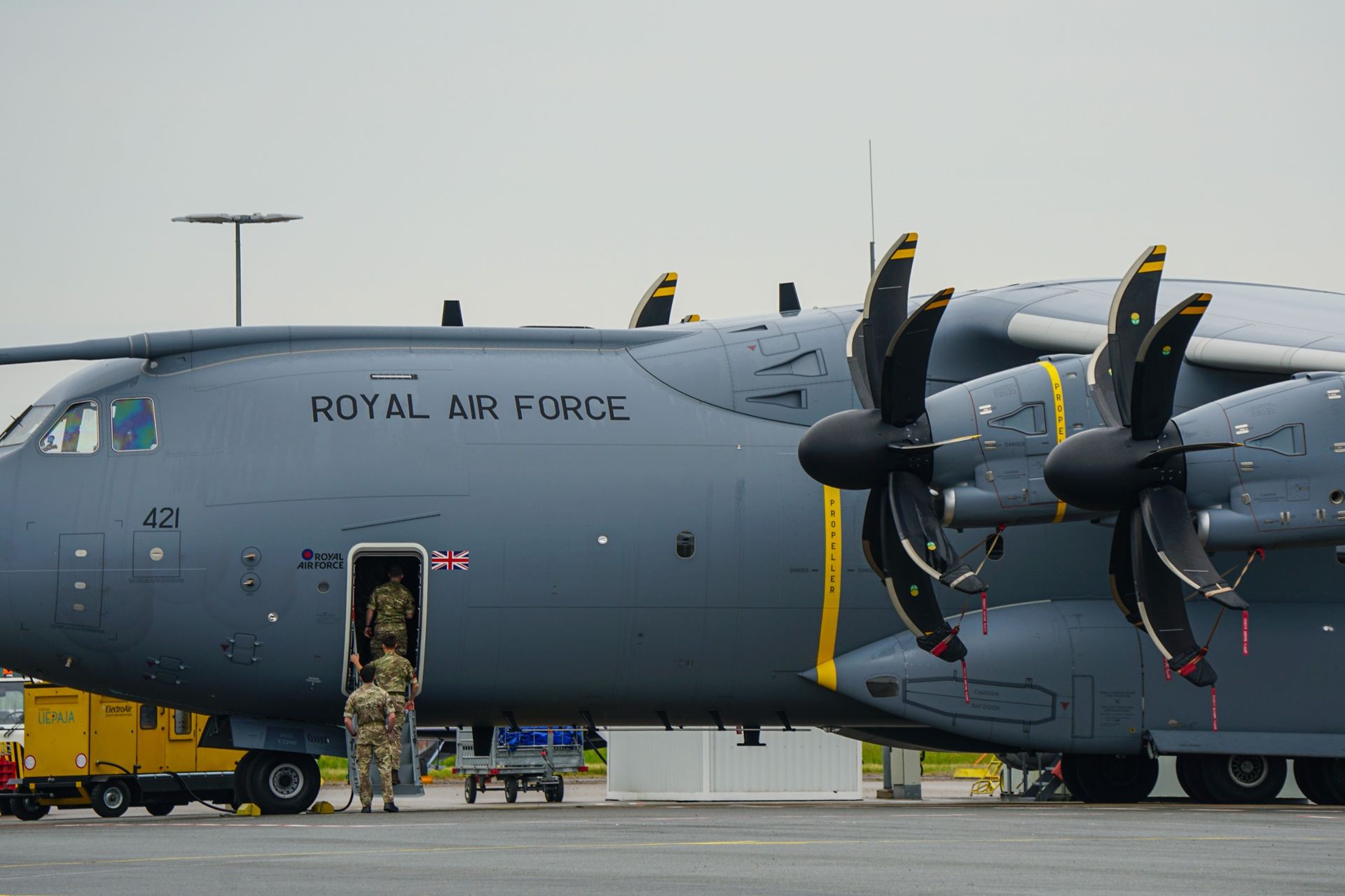
“As the threat of wildfires in the UK grows, defense will step up to provide greater support to our emergency services and protect military training areas across the country,” Defence Secretary Wes Streeting said. “This will see the RAF’s Chinook helicopters and A400M aircraft equipped with new specialist firefighting equipment to enable them to tackle wildfires from the skies for the first time”
The UK faced an unprecedented number of wildfires during its hottest summer on record, with thousands of acres of wildlands destroyed, a nationwide emergency alert broadcast, and a wildfire that burned kilometers away from the Sizewell B nuclear power station.
How can AI detect wildfires?
Airbus already operates a fleet of early-detection satellites that are capable of measuring the dryness of forests and detect tiny heat signatures from space in near-real time.
Earlier this year, NASA launched the first satellite with an AI geospatial foundation model on board into space.
The open-source Prithvi model - developed in collaboration with IBM - can detect flooding, wildfires, and landslides, alongside quantifying biomass, classifying specific crops, and measuring canopy heights to help with predicting how wildfires develop and spread.
There is the obvious contradiction here that AI is being used to solve problems that AI is contributing towards. Many AI firms are turning to fossil fuels for energy as supply lags behind the demand of the AI boom, but a recent report has found that 80% of AI data centers are constructed in natural disaster zones - so are AI firms helping to protect the world, or just their assets?
Popular Products
-
 Smart Auto-Recharge Robot Vacuum Cleaner
$613.56$306.78 -
 Wireless Security Alarm Sensor for Do...
$40.99$27.78 -
 Remote Control Page Turner & Camera C...
$54.99$37.78 -
 Wireless Rechargeable Selfie Shutter ...
$7.99$4.78 -
 Vector Optics Magnifier with Flip Sid...
$210.76$147.78